
Fourzol topographic map
Interactive map
Click on the map to display elevation.
About this map
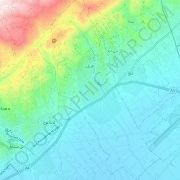
Name: Fourzol topographic map, elevation, terrain.
Location: Fourzol, Zahlé District, Beqaa Governorate, Lebanon (33.82671 35.91707 33.90205 35.98044)
Average elevation: 3,524 ft
Minimum elevation: 2,897 ft
Maximum elevation: 5,856 ft