
Grapevine topographic map
Interactive map
Click on the map to display elevation.
About this map
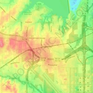
Name: Grapevine topographic map, elevation, terrain.
Location: Grapevine, Tarrant County, Texas, 76051, United States (32.89374 -97.11888 32.97374 -97.03888)
Average elevation: 594 ft
Minimum elevation: 463 ft
Maximum elevation: 709 ft