
Rowlett topographic map
Interactive map
Click on the map to display elevation.
About this map
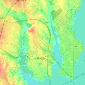
Name: Rowlett topographic map, elevation, terrain.
Location: Rowlett, Dallas County, Texas, United States (32.86979 -96.59314 32.97536 -96.50179)
Average elevation: 482 ft
Minimum elevation: 423 ft
Maximum elevation: 581 ft