
Hillsboro topographic map
Interactive map
Click on the map to display elevation.
About this map
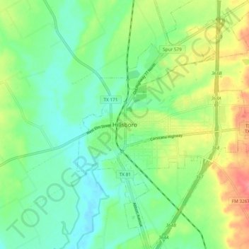
Name: Hillsboro topographic map, elevation, terrain.
Location: Hillsboro, Hill County, Texas, 76645, United States (31.97085 -97.17037 32.05085 -97.09037)
Average elevation: 627 ft
Minimum elevation: 541 ft
Maximum elevation: 781 ft