
Cát Hải District topographic map
Interactive map
Click on the map to display elevation.
About this map
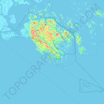
Name: Cát Hải District topographic map, elevation, terrain.
Location: Cát Hải District, Haiphong, Vietnam (20.61295 106.83572 20.88126 107.21233)
Average elevation: 30 ft
Minimum elevation: -13 ft
Maximum elevation: 902 ft
Other topographic maps
Click on a map to view its topography, its elevation and its terrain.