
Millers Creek topographic map
Interactive map
Click on the map to display elevation.
About this map
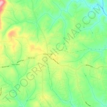
Name: Millers Creek topographic map, elevation, terrain.
Location: Millers Creek, Wilkes County, North Carolina, United States (36.16543 -81.26347 36.21358 -81.20344)
Average elevation: 1,319 ft
Minimum elevation: 1,053 ft
Maximum elevation: 1,726 ft