
Tân Long topographic map
Interactive map
Click on the map to display elevation.
About this map
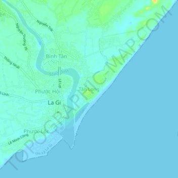
Name: Tân Long topographic map, elevation, terrain.
Location: Tân Long, La Gi, Binh Thuan province, Vietnam (10.64183 107.76107 10.68183 107.80107)
Average elevation: 13 ft
Minimum elevation: 0 ft
Maximum elevation: 85 ft