
Khalkhal topographic map
Interactive map
Click on the map to display elevation.
About this map
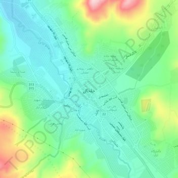
Name: Khalkhal topographic map, elevation, terrain.
Location: Khalkhal, بخش مرکزی, Kahlkhal County, Ardabil Province, Iran (37.60040 48.50498 37.63831 48.55084)
Average elevation: 6,017 ft
Minimum elevation: 5,764 ft
Maximum elevation: 6,644 ft