
Burtsboro topographic map
Interactive map
Click on the map to display elevation.
About this map
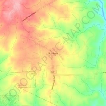
Name: Burtsboro topographic map, elevation, terrain.
Location: Burtsboro, Lumpkin County, Georgia, United States (34.45843 -84.10963 34.49843 -84.06963)
Average elevation: 1,486 ft
Minimum elevation: 1,247 ft
Maximum elevation: 1,673 ft