
Rulo topographic map
Interactive map
Click on the map to display elevation.
About this map
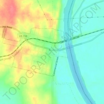
Name: Rulo topographic map, elevation, terrain.
Location: Rulo, Richardson County, Nebraska, United States (40.04492 -95.44315 40.05755 -95.42105)
Average elevation: 919 ft
Minimum elevation: 833 ft
Maximum elevation: 1,056 ft