
Palo topographic map
Interactive map
Click on the map to display elevation.
About this map
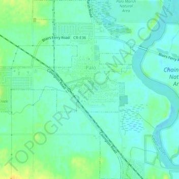
Name: Palo topographic map, elevation, terrain.
Location: Palo, Linn County, Iowa, United States (42.04797 -91.81882 42.07705 -91.78715)
Average elevation: 751 ft
Minimum elevation: 725 ft
Maximum elevation: 804 ft