
Powell topographic map
Interactive map
Click on the map to display elevation.
About this map
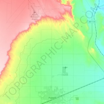
Name: Powell topographic map, elevation, terrain.
Location: Powell, Park County, Wyoming, United States (44.74441 -108.80418 44.88343 -108.72962)
Average elevation: 4,564 ft
Minimum elevation: 4,193 ft
Maximum elevation: 5,174 ft