
Taos topographic map
Interactive map
Click on the map to display elevation.
About this map
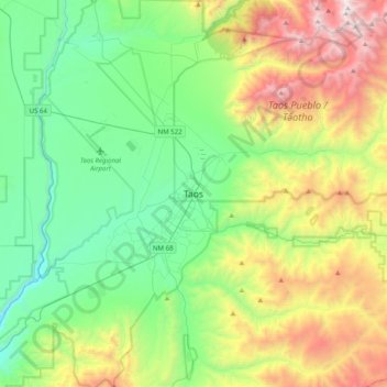
Name: Taos topographic map, elevation, terrain.
Location: Taos, Taos County, New Mexico, 87571, United States (36.36724 -105.61328 36.44724 -105.53328)
Average elevation: 7,129 ft
Minimum elevation: 6,749 ft
Maximum elevation: 8,550 ft