
Tam Đảo topographic map
Interactive map
Click on the map to display elevation.
About this map
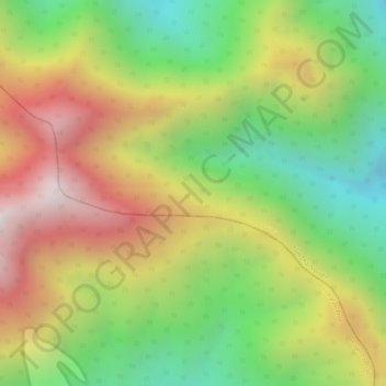
Name: Tam Đảo topographic map, elevation, terrain.
Location: Tam Đảo, Đại Từ District, Thai Nguyen province, Vietnam (21.53537 105.59362 21.53547 105.59372)
Average elevation: 2,936 ft
Minimum elevation: 1,401 ft
Maximum elevation: 4,531 ft