
Tioga topographic map
Interactive map
Click on the map to display elevation.
About this map
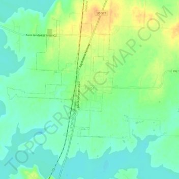
Name: Tioga topographic map, elevation, terrain.
Location: Tioga, Grayson County, Texas, United States (33.44499 -96.93986 33.48982 -96.90688)
Average elevation: 659 ft
Minimum elevation: 617 ft
Maximum elevation: 725 ft