
Garður topographic map
Interactive map
Click on the map to display elevation.
About this map
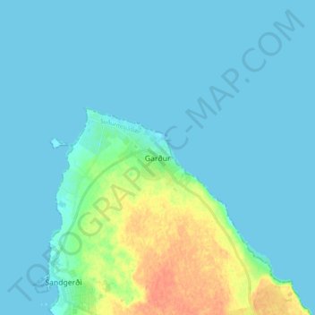
Name: Garður topographic map, elevation, terrain.
Location: Garður, Suðurnesjabær, Southern Peninsula, 250, Iceland (64.03035 -22.69121 64.11035 -22.61121)
Average elevation: 20 ft
Minimum elevation: -7 ft
Maximum elevation: 115 ft