
Michałowice topographic map
Interactive map
Click on the map to display elevation.
About this map
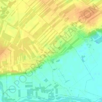
Name: Michałowice topographic map, elevation, terrain.
Average elevation: 443 ft
Minimum elevation: 390 ft
Maximum elevation: 492 ft
Other topographic maps
Click on a map to view its topography, its elevation and its terrain.
Promnik
Poland > Masovian Voivodeship > Grójec County > Promnik
Promnik, gmina Nowe Miasto nad Pilicą, Grójec County, Masovian Voivodeship, Poland
Average elevation: 502 ft