
Butterfield City Number 1 Colonia topographic map
Interactive map
Click on the map to display elevation.
About this map
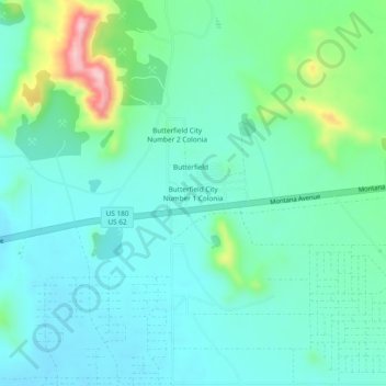
Name: Butterfield City Number 1 Colonia topographic map, elevation, terrain.
Average elevation: 4,278 ft
Minimum elevation: 4,117 ft
Maximum elevation: 4,852 ft