
Olathe topographic map
Interactive map
Click on the map to display elevation.
About this map
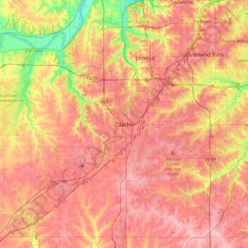
Name: Olathe topographic map, elevation, terrain.
Location: Olathe, Johnson County, Kansas, 6601, United States (38.72389 -94.97887 39.04389 -94.65887)
Average elevation: 991 ft
Minimum elevation: 741 ft
Maximum elevation: 1,138 ft