
Osprey topographic map
Interactive map
Click on the map to display elevation.
About this map
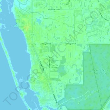
Name: Osprey topographic map, elevation, terrain.
Location: Osprey, Sarasota County, Florida, United States (27.16753 -82.50192 27.21525 -82.45815)
Average elevation: 16 ft
Minimum elevation: -3 ft
Maximum elevation: 36 ft