
Wrightstown topographic map
Interactive map
Click on the map to display elevation.
About this map
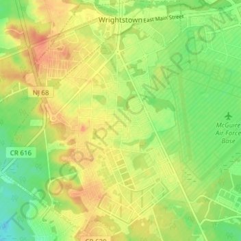
Name: Wrightstown topographic map, elevation, terrain.
Location: Wrightstown, Burlington County, New Jersey, United States (39.99250 -74.65725 40.04008 -74.60231)
Average elevation: 135 ft
Minimum elevation: 62 ft
Maximum elevation: 197 ft