
Webster topographic map
Interactive map
Click on the map to display elevation.
About this map
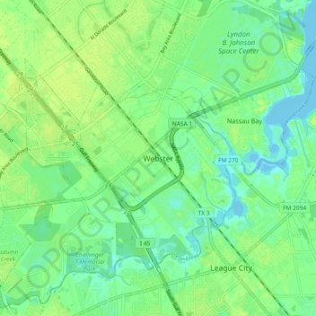
Name: Webster topographic map, elevation, terrain.
Location: Webster, Harris County, Texas, 77598, United States (29.49517 -95.15616 29.57517 -95.07616)
Average elevation: 23 ft
Minimum elevation: -7 ft
Maximum elevation: 43 ft