
Ravanna topographic map
Interactive map
Click on the map to display elevation.
About this map
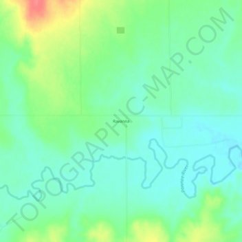
Name: Ravanna topographic map, elevation, terrain.
Location: Ravanna, Finney County, Kansas, United States (38.13974 -100.40236 38.17974 -100.36236)
Average elevation: 2,566 ft
Minimum elevation: 2,503 ft
Maximum elevation: 2,707 ft