
Cunnamulla topographic map
Interactive map
Click on the map to display elevation.
About this map
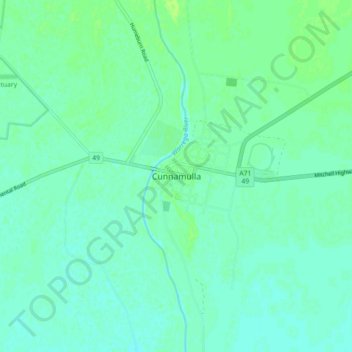
Name: Cunnamulla topographic map, elevation, terrain.
Location: Cunnamulla, Queensland, 4490, Australia (-28.11070 145.64387 -28.03070 145.72387)
Average elevation: 623 ft
Minimum elevation: 607 ft
Maximum elevation: 643 ft
Other topographic maps
Click on a map to view its topography, its elevation and its terrain.
Bowra Wildlife Sanctuary
Australia > Queensland > Cunnamulla
Bowra Wildlife Sanctuary, Lady Bird Walton Way, Cunnamulla, Queensland, 4490, Australia
Average elevation: 640 ft