
Tramore topographic map
Interactive map
Click on the map to display elevation.
About this map
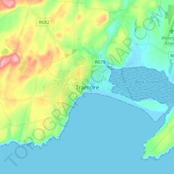
Name: Tramore topographic map, elevation, terrain.
Location: Tramore, County Waterford, Munster, X91 PX96, Ireland (52.12070 -7.18944 52.20070 -7.10944)
Average elevation: 98 ft
Minimum elevation: -3 ft
Maximum elevation: 420 ft