
Lumberton topographic map
Interactive map
Click on the map to display elevation.
About this map
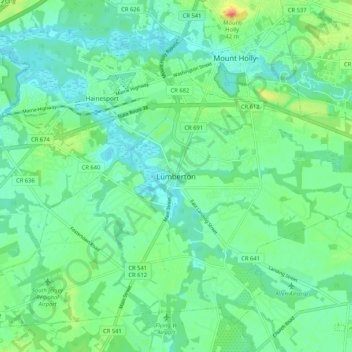
Name: Lumberton topographic map, elevation, terrain.
Location: Lumberton, Burlington County, New Jersey, 08048, USA (39.92595 -74.84516 40.00595 -74.76516)
Average elevation: 43 ft
Minimum elevation: -3 ft
Maximum elevation: 154 ft