
Matera topographic map
Interactive map
Click on the map to display elevation.
About this map
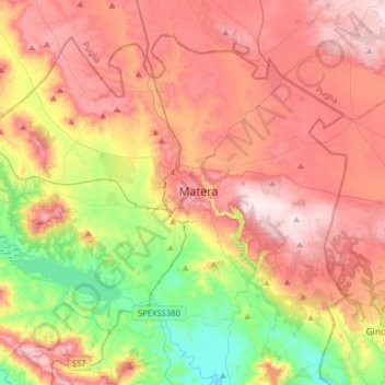
Name: Matera topographic map, elevation, terrain.
Location: Matera, MT, Basilicata, 75100, Italy (40.56741 16.41278 40.76453 16.72908)
Average elevation: 961 ft
Minimum elevation: 148 ft
Maximum elevation: 1,703 ft