
Santa Brígida topographic map
Interactive map
Click on the map to display elevation.
About this map
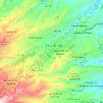
Name: Santa Brígida topographic map, elevation, terrain.
Location: Santa Brígida, Las Palmas, Canarias, España (28.00606 -15.53557 28.05636 -15.45076)
Average elevation: 1,860 ft
Minimum elevation: 748 ft
Maximum elevation: 3,720 ft