
Giddings topographic map
Interactive map
Click on the map to display elevation.
About this map
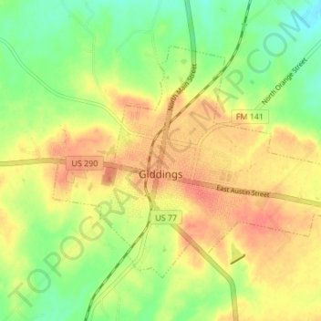
Name: Giddings topographic map, elevation, terrain.
Location: Giddings, Lee County, Texas, 78942, United States (30.16426 -96.95947 30.20679 -96.89158)
Average elevation: 463 ft
Minimum elevation: 381 ft
Maximum elevation: 528 ft