
Tylertown topographic map
Interactive map
Click on the map to display elevation.
About this map
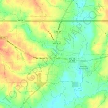
Name: Tylertown topographic map, elevation, terrain.
Location: Tylertown, Walthall County, Mississippi, United States (31.10293 -90.16491 31.13205 -90.11630)
Average elevation: 305 ft
Minimum elevation: 226 ft
Maximum elevation: 384 ft