
Herne Bay topographic map
Interactive map
Click on the map to display elevation.
About this map
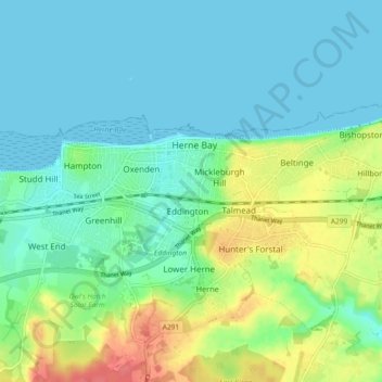
Name: Herne Bay topographic map, elevation, terrain.
Location: Herne Bay, Kent, South East England, England, United Kingdom (51.35366 1.08662 51.37642 1.17813)
Average elevation: 56 ft
Minimum elevation: 0 ft
Maximum elevation: 194 ft