
Paso de Cortés topographic map
Interactive map
Click on the map to display elevation.
About this map
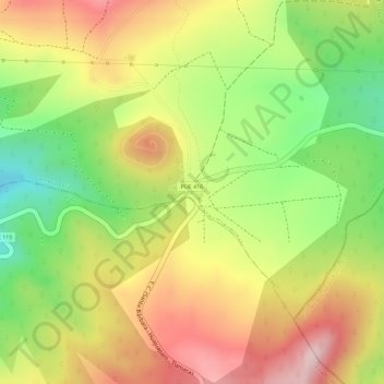
Name: Paso de Cortés topographic map, elevation, terrain.
Location: Paso de Cortés, Amecameca, México (19.07636 -98.65685 19.09636 -98.63685)
Average elevation: 12,096 ft
Minimum elevation: 11,594 ft
Maximum elevation: 12,526 ft
Other topographic maps
Click on a map to view its topography, its elevation and its terrain.