
Killorglin topographic map
Interactive map
Click on the map to display elevation.
About this map
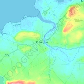
Name: Killorglin topographic map, elevation, terrain.
Location: Killorglin, County Kerry, Munster, Ireland (52.06620 -9.82679 52.14620 -9.74679)
Average elevation: 79 ft
Minimum elevation: -7 ft
Maximum elevation: 456 ft