
Noorderwijk topographic map
Interactive map
Click on the map to display elevation.
About this map
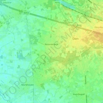
Name: Noorderwijk topographic map, elevation, terrain.
Location: Noorderwijk, Herentals, Turnhout, Antwerpen, Vlaanderen, België (51.11109 4.79018 51.16348 4.85297)
Average elevation: 52 ft
Minimum elevation: 20 ft
Maximum elevation: 92 ft
Other topographic maps
Click on a map to view its topography, its elevation and its terrain.