
Kandahar topographic map
Interactive map
Click on the map to display elevation.
About this map
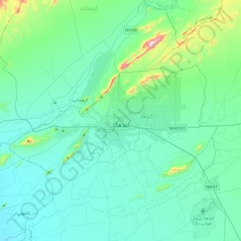
Name: Kandahar topographic map, elevation, terrain.
Location: Kandahar, Kandahar (Dand), Kandahar, Afghanistan (31.46577 65.55448 31.78577 65.87448)
Average elevation: 3,448 ft
Minimum elevation: 3,084 ft
Maximum elevation: 5,768 ft