
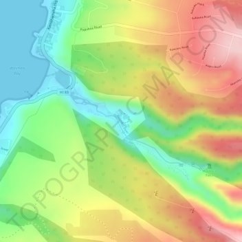
Waimea River topographic map
Interactive map
Click on the map to display elevation.
About this map
Name: Waimea River topographic map, elevation, terrain.
Location: Waimea River, Mililani, Honolulu County, Hawaii, USA (21.63042 -158.06337 21.64106 -158.04377)
Average elevation: 358 ft
Minimum elevation: 0 ft
Maximum elevation: 738 ft