
Swan Lake topographic map
Interactive map
Click on the map to display elevation.
About this map
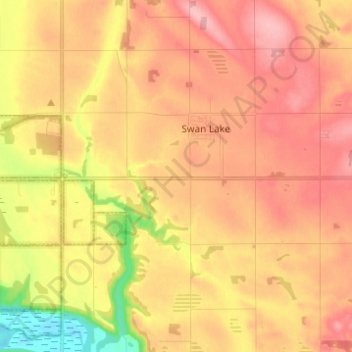
Name: Swan Lake topographic map, elevation, terrain.
Average elevation: 1,526 ft
Minimum elevation: 1,299 ft
Maximum elevation: 1,663 ft
Other topographic maps
Click on a map to view its topography, its elevation and its terrain.
St. Leon
Canada > Manitoba > Division No. 4 > Municipality of Lorne
St. Leon, Municipality of Lorne, Division No. 4, Manitoba, R0G 2E0, Canada
Average elevation: 1,627 ft