
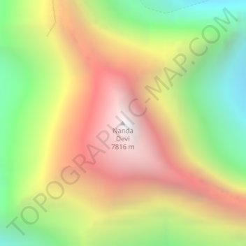
Nanda Devi topographic map
Interactive map
Click on the map to display elevation.
About this map
Name: Nanda Devi topographic map, elevation, terrain.
Average elevation: 21,545 ft
Minimum elevation: 17,621 ft
Maximum elevation: 25,531 ft
Other topographic maps
Click on a map to view its topography, its elevation and its terrain.
Modera
India > Uttarakhand > Joshimath Tehsil
Modera, Joshimath Tehsil, Chamoli District, Uttarakhand, India
Average elevation: 9,452 ft
Mana
India > Uttarakhand > Joshimath Tehsil
Mana, Joshimath Tehsil, Chamoli District, Uttarakhand, India
Average elevation: 16,270 ft
Badrinath
India > Uttarakhand > Joshimath Tehsil > Badrinath
Badrinath, Joshimath Tehsil, Chamoli district, Uttarakhand, India
Average elevation: 13,294 ft