
Lac Manicouagan topographic map
Interactive map
Click on the map to display elevation.
About this map
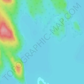
Name: Lac Manicouagan topographic map, elevation, terrain.
Average elevation: 1,188 ft
Minimum elevation: 1,129 ft
Maximum elevation: 1,499 ft
Other topographic maps
Click on a map to view its topography, its elevation and its terrain.
Manicouagan Reservoir
Canada > Quebec > Rivière-aux-Outardes
Manicouagan Reservoir, Rivière-aux-Outardes, Manicouagan, Côte-Nord, Quebec, Canada
Average elevation: 1,814 ft