
Río Lácara topographic map
Interactive map
Click on the map to display elevation.
About this map
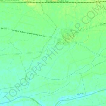
Name: Río Lácara topographic map, elevation, terrain.
Location: Río Lácara, Torremayor, Badajoz, Extremadura, España (38.87700 -6.57081 38.91327 -6.52208)
Average elevation: 643 ft
Minimum elevation: 617 ft
Maximum elevation: 666 ft
Other topographic maps
Click on a map to view its topography, its elevation and its terrain.
Torremayor
España > Extremadura > Torremayor
Torremayor, Badajoz, Extremadura, España
Average elevation: 663 ft