
Mount Hermon topographic map
Interactive map
Click on the map to display elevation.
About this map
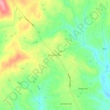
Name: Mount Hermon topographic map, elevation, terrain.
Location: Mount Hermon, Pittsylvania County, Virginia, USA (36.65847 -79.44225 36.69847 -79.40225)
Average elevation: 653 ft
Minimum elevation: 499 ft
Maximum elevation: 869 ft