
Hoi An topographic map
Interactive map
Click on the map to display elevation.
About this map
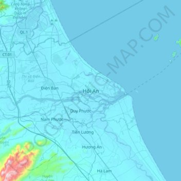
Name: Hoi An topographic map, elevation, terrain.
Location: Hoi An, Hội An, Quang Nam Province, 0510, Vietnam (15.71981 108.16739 16.03981 108.48739)
Average elevation: 82 ft
Minimum elevation: -10 ft
Maximum elevation: 2,776 ft