
Łódź topographic map
Interactive map
Click on the map to display elevation.
About this map
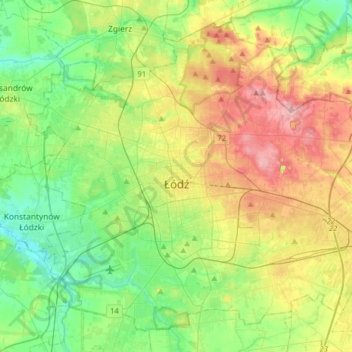
Name: Łódź topographic map, elevation, terrain.
Location: Łódź, County Lodzki, Łódź Voivodeship, Poland (51.68614 19.32086 51.85983 19.63994)
Average elevation: 676 ft
Minimum elevation: 518 ft
Maximum elevation: 922 ft