
Morley topographic map
Interactive map
Click on the map to display elevation.
About this map
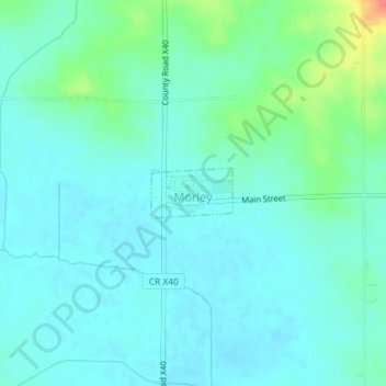
Name: Morley topographic map, elevation, terrain.
Location: Morley, Jones County, Iowa, 52312, United States (42.00444 -91.24971 42.00794 -91.24198)
Average elevation: 817 ft
Minimum elevation: 778 ft
Maximum elevation: 958 ft