
Johnston topographic map
Interactive map
Click on the map to display elevation.
About this map
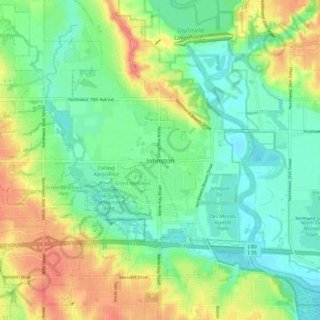
Name: Johnston topographic map, elevation, terrain.
Location: Johnston, Polk County, Iowa, 50131, United States (41.63315 -93.73734 41.71315 -93.65734)
Average elevation: 860 ft
Minimum elevation: 774 ft
Maximum elevation: 1,004 ft