
Campbeltown topographic map
Interactive map
Click on the map to display elevation.
About this map
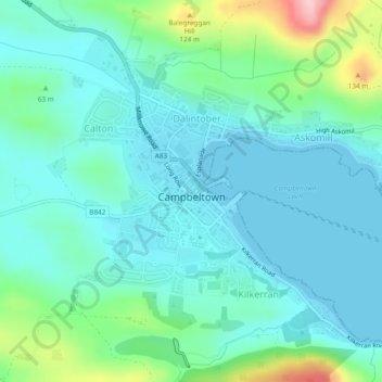
Name: Campbeltown topographic map, elevation, terrain.
Location: Campbeltown, Argyll and Bute, Scotland, United Kingdom (55.41350 -5.61899 55.43558 -5.57854)
Average elevation: 121 ft
Minimum elevation: 0 ft
Maximum elevation: 587 ft