
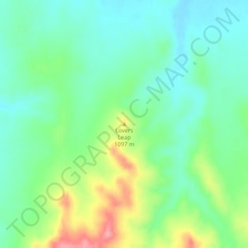
Lovers Leap topographic map
Interactive map
Click on the map to display elevation.
About this map
Name: Lovers Leap topographic map, elevation, terrain.
Location: Lovers Leap, Dawes County, Nebraska, United States (42.84131 -102.83106 42.84141 -102.83096)
Average elevation: 3,488 ft
Minimum elevation: 3,379 ft
Maximum elevation: 3,717 ft
Other topographic maps
Click on a map to view its topography, its elevation and its terrain.
Chadron
United States > Nebraska > Dawes County
Chadron, Dawes County, Nebraska, 69337, United States
Average elevation: 3,451 ft
Crawford
United States > Nebraska > Dawes County
Crawford, Dawes County, Nebraska, United States
Average elevation: 3,714 ft