
Talcville topographic map
Interactive map
Click on the map to display elevation.
About this map
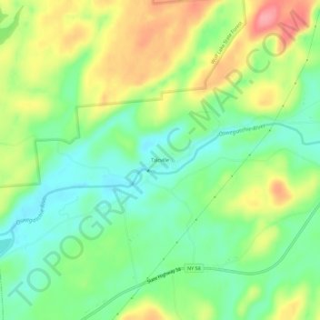
Name: Talcville topographic map, elevation, terrain.
Location: Talcville, Saint Lawrence County, New York, United States (44.28978 -75.32604 44.32978 -75.28604)
Average elevation: 728 ft
Minimum elevation: 597 ft
Maximum elevation: 915 ft