
Brussels topographic map
Interactive map
Click on the map to display elevation.
About this map
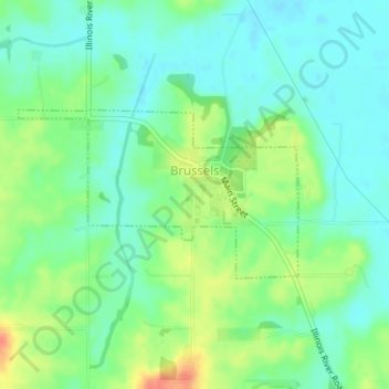
Name: Brussels topographic map, elevation, terrain.
Location: Brussels, Calhoun County, Illinois, United States (38.94199 -90.60454 38.95372 -90.57948)
Average elevation: 486 ft
Minimum elevation: 430 ft
Maximum elevation: 594 ft