
Pilar topographic map
Interactive map
Click on the map to display elevation.
About this map
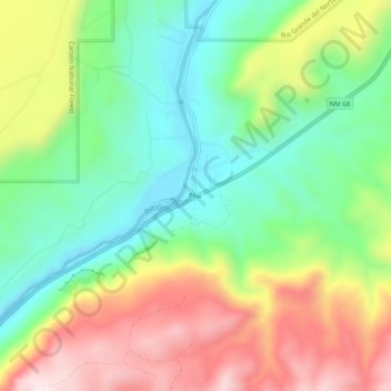
Name: Pilar topographic map, elevation, terrain.
Location: Pilar, Taos County, New Mexico, United States (36.24894 -105.80758 36.28894 -105.76758)
Average elevation: 6,670 ft
Minimum elevation: 5,984 ft
Maximum elevation: 7,671 ft